Walking the Nakasendo trail: A photoblog

Like this post? Help us by sharing it!

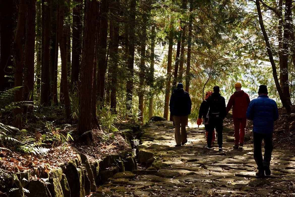
Brian Beatty is a tour leader for InsideJapan. Here, he remembers walking part of the ancient Nakasendo Highway.

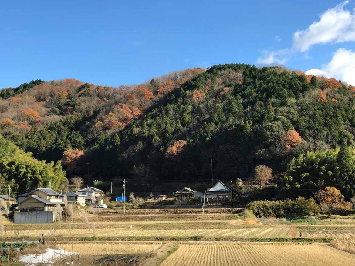
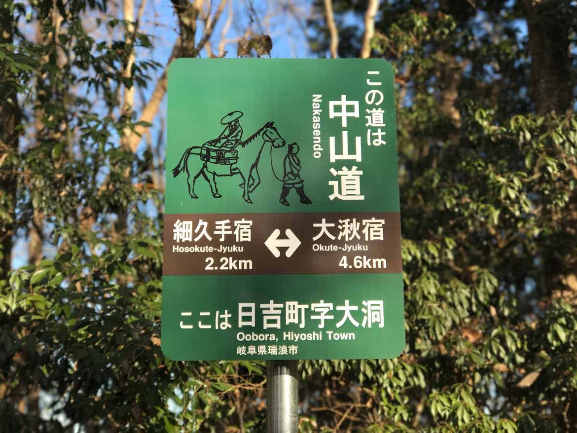
In the early 17th century the Tokugawa Shogunate  established the Nakasendo Highway: or the “Central Mountain Road”.  Nakasendo was one of five roads that were used by the shogun and daimyo, which provided the Tokugawa Shogunate with the communications network it needed to stabilise and rule the country.  It was also one of the only two major walking paths that connected Kyoto to the capital, Edo (modern-day Tokyo) – the other being the Tokaido Trail, or “East Sea Road”.

During this trip, we travelled approximately 100 km out of the total 534 km (332 mi) on the Nakasendo trail.

Our journey started at Mitake Station in Gifu Prefecture
We met many locals along the way but this happy old lady was my favorite. The picture below shows her cleaning Japanese daikon (radish). She even brought out a batch of her pickled daikon so we could taste them. They were delicious!
Delicious daikon
Delicious daikon
A shot of the treetops turning orange
The mountains of Gifu Prefecture
Following the Nakasendo signs


Some goats ("yagi" in Japanese)
Some goats (“yagi” in Japanese)
Ochiai no Ishidatami (stone pavement of Ochiai) 840 metres long
Jimei shrine. This tree is 1300 years old
Jimei shrine. This tree is 1300 years old.
A beautiful house tucked away in the mountains.
Magome-Juku. This post town was built on a hill, which is said to be rare.
Magome. This post town was built on a hill, which is said to be rare.
This is Tsumago, with Mount Ise in the background. Mount Ise is 1373 metres tall. Due to the efforts of the locals to preserve its history you can experience how it looked like in the Edo period here in this old post town.
After 4 days of walking along the Nakasendo trail and getting to see some of Japan’s most beautiful countryside we finally arrived at the finish line. Nagiso station. I’d like to give a shout out to Ukisu-san, Imai-san, and the local government tourism promotion agency for making this trip possible. Thank you so much! It was a blast!

If you’d like to walk part of the Nakasendo Highway, take a look at our fantastic Historic Mountain Trails itinerary, which will take you through Tsumago and Magome. Alternatively, we can tailor a trip to suit you – so just get in touch and let us know what you’d like to do.

Like this post? Help us by sharing it!